Hello, and thanks for the great AsiAIR updates over the past year. With the recent inclusion of location coordinates in the FITS files, it’s become much easier to use AsiAIR for exoplanet transit measurements with AstroImageJ software.
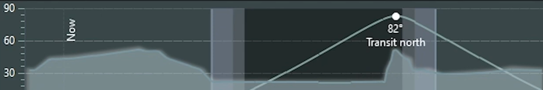
I have a new feature request inspired by a feature I saw in NiNA, which allows users to input horizon obstacles. This would help in planning imaging sessions more effectively. It would be fantastic if AsiAIR could include a similar feature, ideally allowing the saving of two or three profile locations (in case you move the telescope).
The feature could work by using the phone’s camera to capture a full 360-degree view while marking points on the horizon. This would generate a list of angles relative to direction and elevation. Then, during planning or in autorun mode, users could view the profile of the target’s path and identify any obstacles along the way—for example, a building to the northeast reaching 50 degrees above the horizon.
Thank you for considering this enhancement!