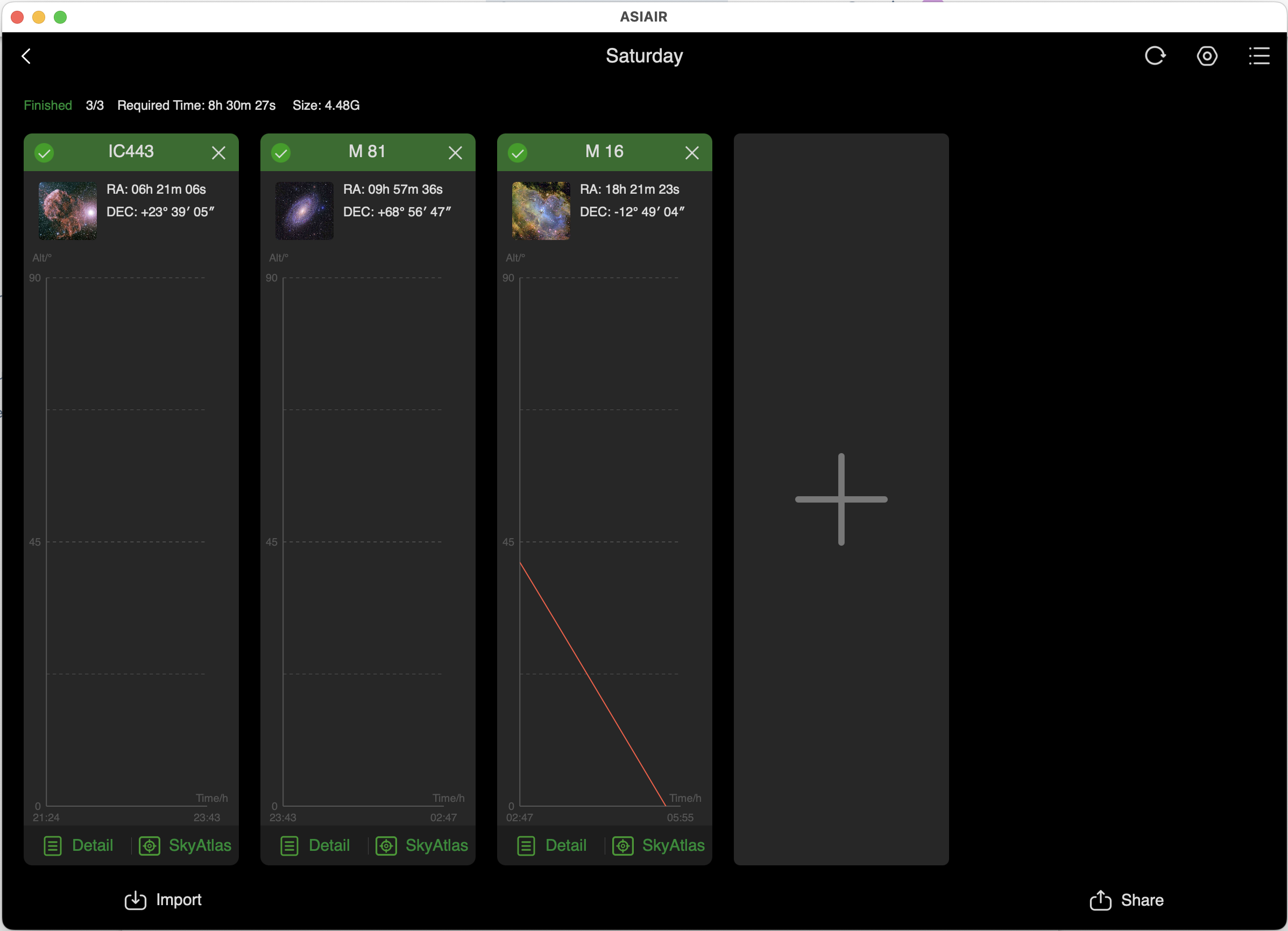
For the last couple of weeks, the ASIAIR warns me when I start a plan that two of my three targets may not be above the horizon when time comes to view them. It will show the correct estimated start time in the lower left corner of the altitude chart for the object in the plan (in a font so faint that no human can view it), and the sky atlas will show it well above the horizon, but the plan shows no altitude chart.
If I ignore the warning and execute the plan, everything works just fine.
My main concern is that it's nice to see the chart showing the altitude of the object and any meridian flip that might occur doing that time.
I suspect this is a DST issue, but everything else works fine (even though the mount reports standard time and the app works on DST).